
by Rebecca Bailey
photography by Curt Given
A beautiful, primitive seashore lies within the boundaries of Olympic National Park in Washington State. It is a place of lasting impressions. Its pounding surf, intertidal communities, beaches, and wildlife tell a wonderful tale. Although access is via remote roads or trails, with a little pre-planning, travelers can experience this seaside wilderness first-hand.
The park’s protected coastline spans nearly 75 miles, starting in the south near Kalaloch on Highway 101 and ending in the northwest corner of the state near Ozette Indian reservation. Sea stacks, headlands and islands mark the landscape, providing important habitat for a diversity of plants and animals that flourish in this ecosystem.
Beaches are numerous and each is different from the others. For visitors, that means a wealth of choices along this coast. And since they are all gorgeous, there’s no such thing as a bad beach. Access may determine your choice. Generally, the park’s harder-to-access beaches are located at the north end of the coastal strip.
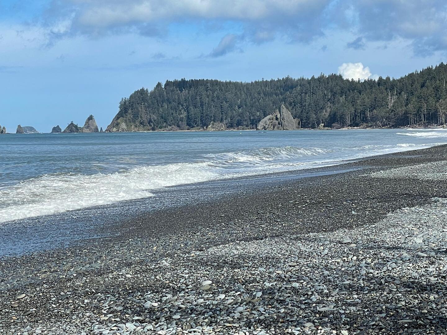
Rialto Beach
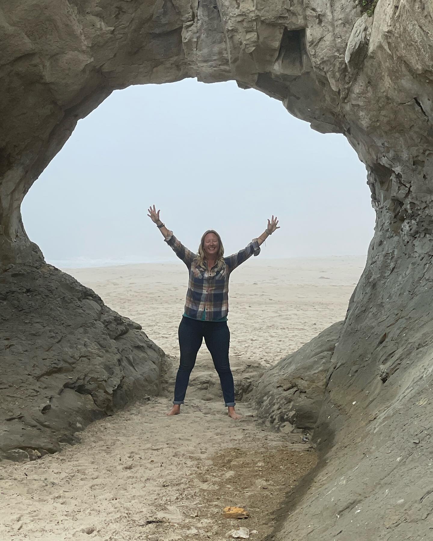
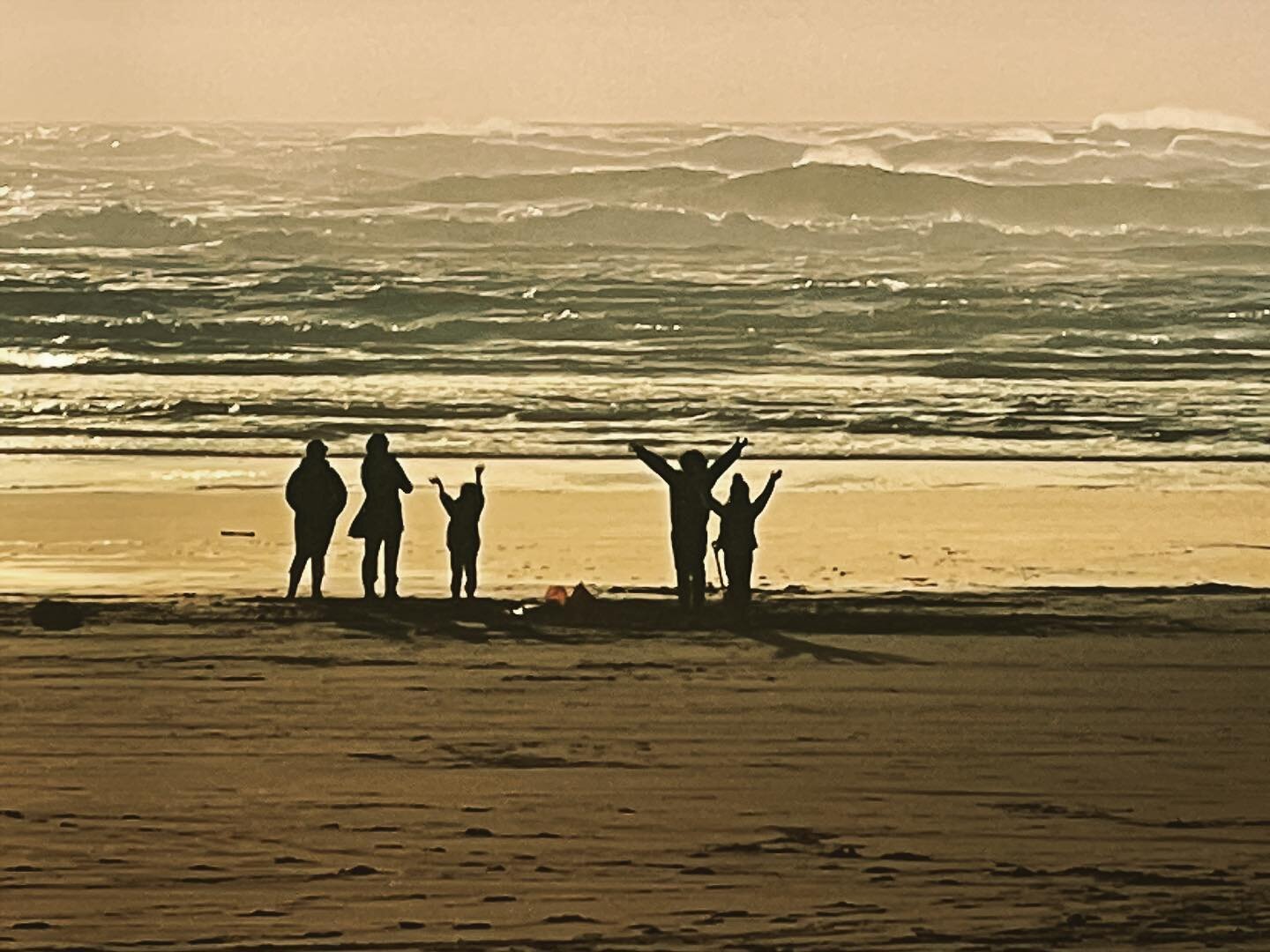
Centrally located is Rialto Beach, a small scoop of land that is easy to access. Bounded by sea stacks to the south and rugged headlands to the north, this beach has magnificent views of the Pacific Ocean. You’ll want to spend at least one morning or evening here because the light is the stuff of fairy tales. Sunsets are classic—brilliant pinks streaking the horizon. In the morning, white-gold light illuminates the foamy surf.
Anytime of the day you can see brown pelicans flying north. These prehistoric looking birds are capable of amazing twisting dives as they plunge into the sea for fish. In the summer, it is common to see several big groups flying just a few feet above the water.
Rialto’s shore is a popular gathering and feeding spot for many birds. Ruddy turnstones work the rocks and Sandpipers and other shorebirds probe the sand for small crustaceans. Gulls and crows congregate everywhere. Surf scoters bob along, their clown-faces surprising and delighting visitors.
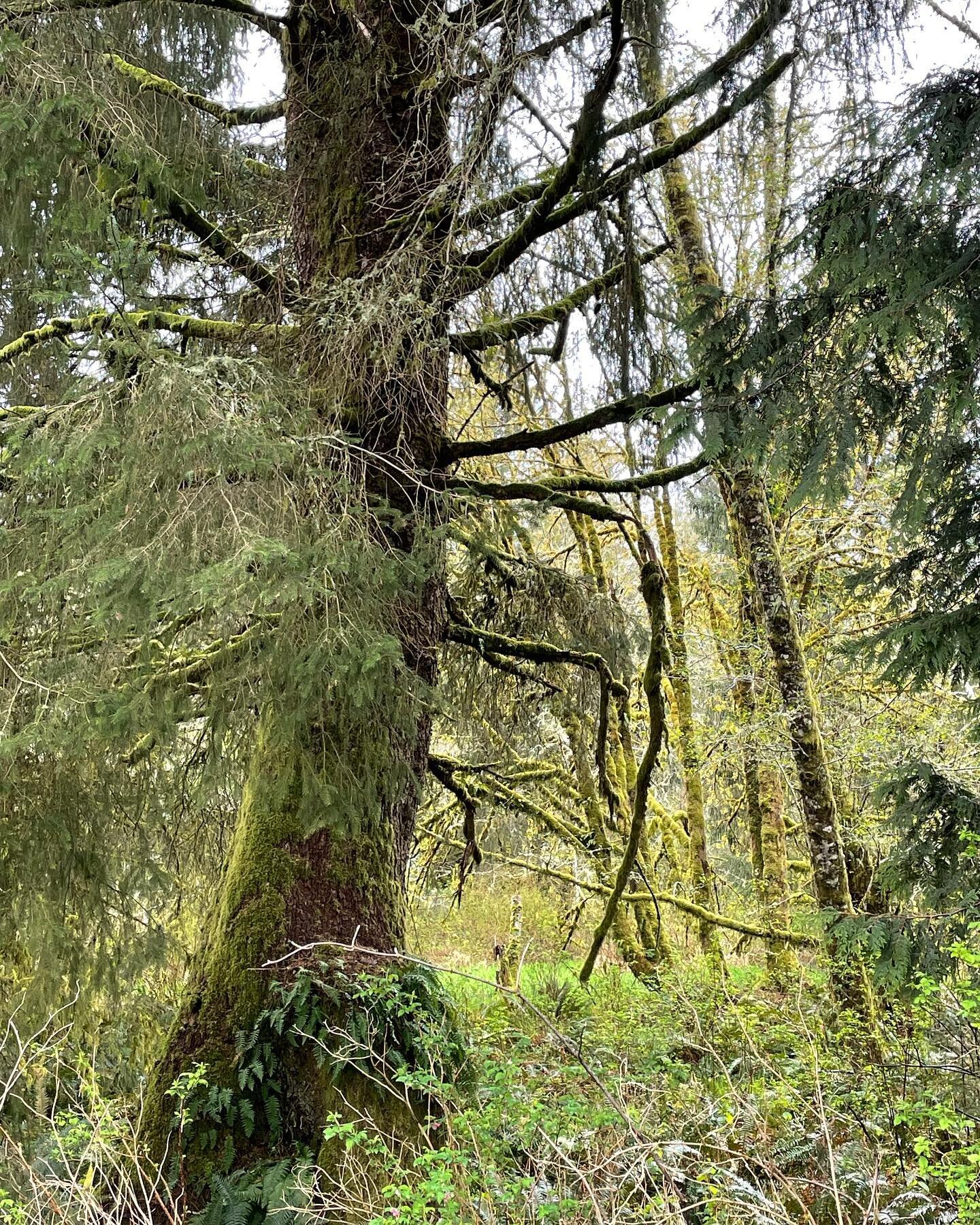
Directly behind this beach is a coastal forest of western hemlock, Sitka spruce, western red cedars, Douglas fir and alders. Beach logs from the forest lay every-which- way creating a haphazard fence between the forest and ocean. This natural playground inspires children and adults to build forts, create beach art, and climb around the fallen and washed up logs. (Remember to dismantle anything that you build to keep it looking natural.)
Nearby, a picnic area with a paved walkway, restrooms and a parking lot are sheltered behind a pile of beach logs. And just down the road, the mouth of the Quillayute River dumps into the ocean. Here you might see river otters, merganser and harlequin ducks and bald eagles.

Second Beach
Directly south of Rialto, via highway 110, Second Beach offers its own breathtaking views with several sea stacks scattered across the horizon. They come in all sizes and shapes, topped by windblown trees and colonies of nesting birds.
Here, after less than 30 minutes of moderately easy walking with a short descent to the beach, you’ll feel like you’re visiting a remote island. Few people are around due to limited parking at the trailhead.
This beach is great for exploring tide pools. The north end has a rich intertidal community with hundreds of tiny sea creatures living in rocky pools of water. Plan your visit during low tide to discover their hidden world. Sea stars, mussels, anemones, barnacles, and hermit crabs are among the many creatures you might spot--all fighting to survive the heavy wave shock from changing tides.
For a good stroll, head south. The beach is long enough to get a good pace going. Stop every so often to scan the water and sea stacks for swimming and hauled out sea lions, seals and other marine mammals.
Throw in a glorious sunset and you’ll never want to leave. However, if you do stay to watch, you will a need a flashlight for the walk back or plan to spend the night. Some beach areas require reservations to limit overnight campers and they all require a backcountry permit, so check with the park service first.

Cape Alava
For something different, drive to the northwest corner of the park and walk through a coastal forest to Cape Alava beach. The 3.3-mile (one-way) trail begins at the Lake Ozette ranger station, and is mostly on a gently rising and falling sturdy cedar boardwalk. At the end, wooden stairs help with the short descent to the beach.
These forests appear all along the coast, but perhaps nowhere as lush. Bottle-green sword ferns, salal and skunk cabbage creep over and along the boardwalk, while giant Western red cedars and hemlocks tower overhead. About halfway to the beach, you’ll come across Ahlstrom’s Prairie, which was the site of a Scandinavian homestead. Here you may see grazing black-tailed deer.
Cape Alava offers one-of-a-kind beauty, with its rugged headlands, sea stacks, tide pools, islands and wildlife. Sea lions and seals swim along the shore, or warm themselves on flat jutting rocks. For a good view of these playful creatures, bring binoculars. You can see unusual piebald deer with large patches of white fur. Surf scoters, grebes, murres and other ducks bob and dive among the waves. Use binoculars and spotting scopes to see nesting and flying birds around the sea stacks, which are part of the Olympic Coast National Marine Sanctuary.
A low tide will bring pairs and groups of raccoons out to forage for food in the tide pools. Be wary though. They are abundant on the coast, love human food, and often raid unattended backpacks or picnic baskets. This is a popular backpacking spot, so if you stay over night, you will want to hang your food at least six feet above the ground and six feet away from tree trunks.
The Ozette Indian archaeological site is located here. Washington State University excavated the site during the 1970s. It’s now closed and buried. Most of the artifacts found during the excavation are on display at the Makah Cultural Center in Neah Bay.
For a longer hike, you can do a 9.3-mile loop by hiking three miles south along the beach from Cape Alava and returning to the Ozette ranger station via the Sandpoint trail.
Tips and what to bring
When taking extended hikes along the coastal beaches, several points are passable only at low tide. It is critical that you carry a topographical map and know how to use it. Tide tables are available at ranger stations and visitor centers.
Likewise, before you hike to any beach, it’s a good idea to check trail conditions on the park website. Routes can be closed or in poor condition. Bring warm clothes, rain gear, and wear sturdy shoes because trails are often uneven, slippery, and muddy. Save your flip-flops for the sand.
To make your trip more enjoyable bring a field guide to help you identify some of the outstanding sea birds found along the Washington coast and binoculars are essential for wildlife viewing. Restaurants are sparse, so pack lots of food and water. Park campgrounds fill fast and most are first-come, first-served. Camping fees range from ten to eighteen dollars per night. Accommodations are available in the park, Forks, Port Angeles and at local bed and breakfasts. Admission fee into the park is $15 per vehicle for a 7-day visit.
Resources
For more information about all of the park beaches and other places in Olympic National Park, visit the Olympic National Park website.
Downloadable free route guides for Olympic National Park available at 10 Adventures.com
For a downloadable free route guide that includes GPS coordinates for the Cape Alava hike visit 10Adventures.com You’ll find the route in the first leg of the Ozette Triangle listed under the Best Hikes in Olympic National Park. The website features hiking routes from around the world, plus a whole lot more.
If you like this article, please share with the button below!